Design
Gorove Slade’s design solutions transform transportation infrastructure into seamless, efficient, and safe networks.
Gorove Slade provides comprehensive transportation design services across the District of Columbia, Maryland, and Virginia region, working with municipalities, developers, and contractors to create safe, efficient, and sustainable transportation infrastructure. Our team combines decades of regional expertise with innovative design solutions to deliver projects that prioritize accessibility, community well-being, and regulatory compliance throughout the District, Maryland, and Virginia (DMV).

Traffic Signal Design
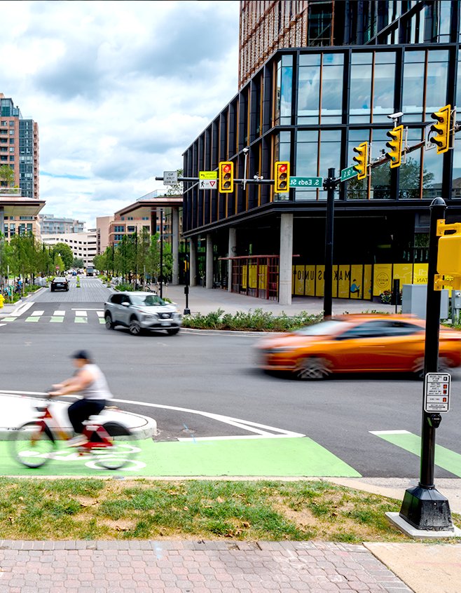
Millions of people depend on traffic signals daily to safely navigate intersections, making the thoughtful design of these systems crucial for preventing accidents and reducing the frustration of daily commutes. Traffic signal design can be broken down into three phases: Preliminary Signal Design, Full Traffic Signal Design, and finally, Construction Administration/Support. Each phase adds additional detail and complexity to arrive at the end goal of a signalized intersection that provides safe and efficient passage for vehicles, bicycles, and pedestrians.
Gorove Slade works closely with project teams and state/local transportation agency staff during the preliminary phase to determine effective signalization solutions and impacts. Often, this includes identifying right-of-way restrictions and easement requirements, utility constraints, geometric layout requirements, pedestrian needs, identification and location of intended signal equipment, appropriate coordination with adjacent signals, and any potential corridor impacts of the traffic signal design.
The signal design phase takes the preliminary layout and expands it into a complete engineering drawing. These drawings include but are not limited to details about signal heads, phasing diagrams, sign types and location, phasing and emergency vehicle pre-emption, pavement markings, pedestrian signal heads and Accessible Pedestrian Signal (APS) pushbuttons, cable & conduit routing, bicycle considerations, and construction/demolition details.
Once a plan has been reviewed and approved by the applicable agency, the plan moves into the construction administration and support phase. Our role doesn’t end with plan approval; we work with the project team to provide cost estimates, review construction submittals and cut sheets, address requests for information from contractors, and provide guidance on field revisions when necessary. Our job isn’t done until a signal has been turned on and serves the travelling public.
Pavement Marking and Signing Plans
Clear pavement markings and signage are essential for safe, efficient traffic operations at every intersection and roadway. Gorove Slade has completed hundreds of Pavement Marking and Signing Plans, ranging from as simple as showing how proposed pavement markings and signs at a newly signalized intersection tie into the existing pavement markings and signs on the adjacent streets, to complex ones depicting all the pavement markings and signs for an entire site.
For both signage and pavement markings, such plans will depict existing pavement markings and signs to remain, existing to be removed, and proposed. Gorove Slade’s significant experience working with municipalities and contractors on these plans makes us one of the industry leaders for this type of work.
Curbside Management Plans
Effective Curbside Management Plans require coordination among local parking, curbside, and safety teams to address the complexity of clearly defining all curbside uses around a project site. These projects may also address parking zones, identify where to create or maintain access to public transportation, and facilitate multimodal safety improvements. In urban environments, curbside uses can also include on-street loading, ride–sharing spaces, mobility corrals, and pick-up/drop-off zones.
Curbside Management Plans are now a requirement for all projects that impact public streets in Washington, DC, and Gorove Slade has completed dozens of these plans in all four quadrants of the District.
We work closely with DDOT’s parking, curbside, and safety teams to coordinate effective curbside uses and parking zones, create or maintain access to public transportation, and facilitate multimodal safety improvements around our projects. These plans are evolving as DDOT continues to refine how it manages on-street parking, ride-sharing services, and public transportation.
Our experience with DC’s comprehensive curbside management framework allows us to adapt these proven strategies to other jurisdictions throughout the region. We help municipalities develop tailored approaches to optimizing their curbside assets for economic development, safety, and multimodal transportation goals.
Maintenance of Traffic / Temporary Traffic Control Plans
Construction projects don’t exist in isolation—they happen within active transportation networks where millions depend on safe, reliable access to work, businesses, and essential services. Comprehensive traffic management planning ensures regulatory compliance while protecting workers and the traveling public.
Traffic management within work areas is governed by the Manual on Uniform Traffic Control Devices (MUTCD), a federal mandate establishing that every construction project must account for the complex web of mobility needs surrounding it. The District of Columbia, Virginia, and Maryland supplement the MUTCD with jurisdiction-specific work area protection manuals.
Gorove Slade’s regional transportation understanding allows us to provide project teams with the maintenance of traffic plans that satisfy both regulatory requirements and practical construction needs. We know that well-planned traffic management planning can:
- Streamlines project constructability through integrating the contractor’s needs with those of the traveling public.
- Decreases the likelihood of workplace injuries.
- Prevents project delays and shutdowns resulting from non-compliance.
- Promotes a positive image of your project by avoiding undue and inconvenient traffic delays, pedestrian detours, and blocked access to businesses.
Our approach moves construction forward while minimizing impacts to the public, recognizing that successful projects must balance regulatory compliance, worker safety, construction efficiency, and community needs.

Permitting Services
Gorove Slade is ready to assist with your permitting requirements for small- and large-scale projects and everything in between. Public space occupancy (also referred to as Public Right-of-Way), construction, steel plate, and after-hours are just a few examples of our team’s vast experience working with developers and contractors. From farmers’ markets and utility installations to full-scale building demolitions and construction, our team has the expertise and relationships to expedite permit approvals. Our project-focused and hands-on approach means everything you need to keep your project moving forward will be directly delivered to your site or office.
Site Access and Circulation
When assembling conceptual plans, it is essential to create an intuitive and efficient access and circulation system. Gorove Slade can help identify ideal locations for vehicular access points, front doors for pedestrian access, bicycle and transit connections, and other details to help ensure quality multi-modal access. Service access, emergency vehicle access, and loading dock design and planning can be additional components of a comprehensive review. Appropriate site access and circulation enhances safety and convenience, supports local economic development, and improves the overall quality of life.
This is of particular importance for entitlement projects. Gorove Slade works with project owners and design teams to select the best options to integrate their project with the surrounding transportation network in line with local mobility goals. Once a conceptual system is in place, Gorove Slade can help analyze and refine site circulation, help identify proper traffic and operational controls at access points, and design wayfinding to support site circulation, including signing and marking plans.
Loading Design
Loading design refers to allocating and designing spaces for loading and unloading activities, typically for commercial vehicles such as delivery trucks and freight carriers. These loading areas are essential for facilitating the efficient movement of goods and services within urban areas, ensuring timely deliveries to businesses and residences. Through our loading design planning services, we help clients determine the recommended location, size, and accessibility of loading areas and establish regulations to manage loading activities and minimize conflicts with other modes of transportation, such as vehicles, pedestrians, and cyclists.
Proper loading design is crucial for supporting project activity, maintaining traffic flow, reducing congestion, and supporting economic activity in urban areas. Additionally, it significantly enhances all road users’ safety by minimizing the risk of accidents and conflicts in loading areas.

Vehicle Maneuvering Analysis
A high-quality Vehicle Maneuvering Analysis helps urban planners and engineers understand how vehicles navigate the built environment and identify potential conflicts or inefficiencies in traffic flow. This process involves evaluating the movement and interaction of vehicles within a given area, such as streets, intersections, and parking lots. It can also ensure that emergency vehicles, such as fire trucks or large rescue vehicles, can quickly and effectively access a site if needed.
By simulating various vehicle maneuvers, such as turning movements, lane changes, and parking maneuvers, planners can assess the effectiveness of road layouts and intersection designs, optimize traffic signal timings, and improve safety for all road users. Vehicle Maneuvering Analysis is crucial for designing transportation infrastructure that accommodates the needs of diverse users while maximizing efficiency and safety in urban environments
Active Transportation Design: Pedestrian and Bike Facility Design
Active transportation design focuses on creating infrastructure and environments that encourage and prioritize human-powered modes of transportation, such as walking, cycling, and scootering. This approach aims to promote physical activity, reduce dependency on automobiles, enhance overall health, and reduce parking demand. Active transportation design typically involves creating safe and accessible pathways, bike lanes, pedestrian-friendly streetscapes, and amenities such as pedestrian crossings, bike racks, mobility corrals, and bicycle-sharing facilities.
By conducting a Bicycle System Adequacy test, Gorove Slade evaluates the existing conditions and Bicycle Level of Traffic Stress (BLTS) and completes a needs assessment. A Bicycle System Adequacy Review provides a quantitative analysis to inform future bicycle facility design. Our team can also design cycle tracks, protected bike lanes, and pavement marking plans as part of a broader active transportation strategy.
Whether preparing bicycle facilities for a corridor or a larger jurisdiction, we will review any bicycle master plans or existing routes to create well-connected networks. When municipalities integrate active transportation into urban planning initiatives, they can improve mobility, reduce congestion, and make more livable and sustainable communities.
Conceptual Roadway Design
Conceptual roadway design establishes the foundational framework for transportation projects, balancing engineering requirements with community needs and environmental considerations. Gorove Slade develops conceptual roadway designs that address geometric layout, cross-sectional elements, intersection configurations, and multi-modal accommodations while considering right-of-way constraints, utility impacts, and construction phasing. Our conceptual designs serve as the blueprint for detailed engineering, helping project teams make informed decisions about alignment alternatives, design standards, and cost implications early in the project development process.
Cost Estimating
Cost estimating for construction fees, project budgeting, and/or bond estimates is required in almost every DMV jurisdiction. These estimates can be required for anything from signal modification plans to the cost impacts of signing and striping an entire redevelopment. Gorove Slade coordinates closely with state and local agencies to ensure we have the latest pricing documentation to produce quality cost and bonding estimates. Our vast knowledge of transportation infrastructure and how it’s built allows us to efficiently and effectively produce precise and accurate estimates, along with any required documentation.
Lighting Design
Gorove Slade designs lighting systems that meet illumination standards for roadways, intersections, crosswalks, and pedestrian areas while minimizing light pollution and energy consumption. Our lighting design services include photometric analysis, fixture selection, pole placement, electrical design coordination, and compliance with local design standards and dark sky requirements. Whether designing lighting for new construction, retrofit projects, or intersection improvements, we balance visibility needs with aesthetic considerations and long-term maintenance requirements to create lighting solutions that enhance both safety and community character.
Conceptual Roadway Design
A guardrail is a safety barrier with the purpose of shielding vehicles from unrecoverable slopes adjacent to the roadway and preventing errant vehicles from striking immovable objects like overhead sign structures, concrete walls, and bridge abutments. Whether it’s assessing existing guardrail installations for adherence to state and national standards or recommending the application of guardrails on a road design project, our experienced team applies AASHTO Roadside Design Guide principles and state-specific requirements to determine appropriate guardrail length, placement, and end treatments that balance safety performance with maintenance accessibility and cost-effectiveness.