Microsimulation models are one of the best tools transportation engineers have for predicting future changes to transportation networks and evaluating alternatives. These models are software programs that can mimic the movements of all modes of transportation on a recreated transportation network. Compared to other ways to evaluate transportation networks, microsimulation models excel at predicting changes in congested conditions, unorthodox networks, and multimodal interactions. Gorove Slade recommends using microsimulation models for a few key benefits:
Tailored to Specific Project Needs
Gorove Slade can help match the right software to project goals and needs. There are several microsimulation models available to use, with the two most common in the industry are SimTraffic and VISSIM. SimTraffic is a tool best used for primarily vehicular analyses of arterial networks, and well-suited for evaluating signal timing strategies, future traffic conditions, and impacts from other changes to the roadway network. VISSIM is a more intricate micro-simulation model that allows modeling of unique networks, such as those that mix arterial and freeway elements, as well as non-automobile modes like dedicated bus lanes and protected bicycle lanes.
Depending on the specific project, Gorove Slade can not only identify what model is best employed, but how that specific software program is used. These models are not ‘one-size-fits-all’, and can have different levels of data collection, calibration analysis, and programming details depending on what they are used for. We would tailor the scope and effort to the types of questions being asked. At the onset of each project we document the project’s goals and how the modeling scope and methodology meets those goals to help set expectations and to provide context for technical review (e.g., by a state agency).
Excellent Visualization Tools
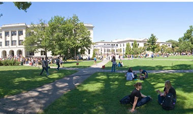
Microsimulation models can provide 2-D and 3-D visualizations of future conditions, showing the simulated transportation network. These visuals not only show the results of these changes, depicting things like changes to congestion, but also can greatly enhance the general public’s understanding of the proposals. Videos of the 3-D models can show the built environment and how future transportation networks fits within them and operates, and can be tailored to show a static view of a roadway, track individual vehicles, or even provide a point-of-view of a driver.
Incorporation of All Modes
VISSIM allows for the incorporation of non-automobile modes of travel. This includes the ability to model bus rapid transit, including queue jumps and dedicated lanes, multiple types of pedestrian accommodations and crosswalks, and various bicycle facilities including bicycle specific traffic signals and protected bike lanes. VISSIM can provide metrics for these modes to help compare alternatives, such as transit and bicycle travel times, and pedestrian delays at crosswalks. In addition, the visualization tools for VISSIM also apply to non-auto modes. This can include things like tracking transit vehicles in a proposed bus rapid transit system, demonstrating how center running dedicated lanes work, or a point-of-view of a cyclist in a new protected bike lane.
Gorove Slade has a dedicated advanced transportation modeling team well versed in the various modeling programs and their applications, ready to take on any project.